Resources
Building a more resilient New Jersey will mean adapting to the realities of flooding. This in turn, requires that learn as much as we can about the projected flooding and the science behind it. Here we provide a variety of links to maps, tools, reports and web sites that will allow you to prepare for the flooding that is projected to impact New Jersey’s coastlines in the future.
Maps
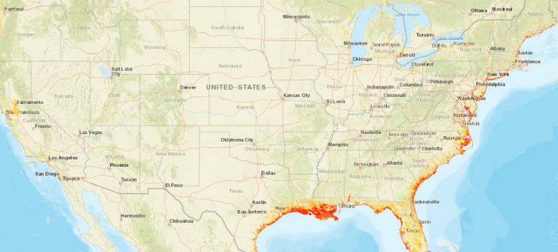
Coastal Flood Exposure Mapper:
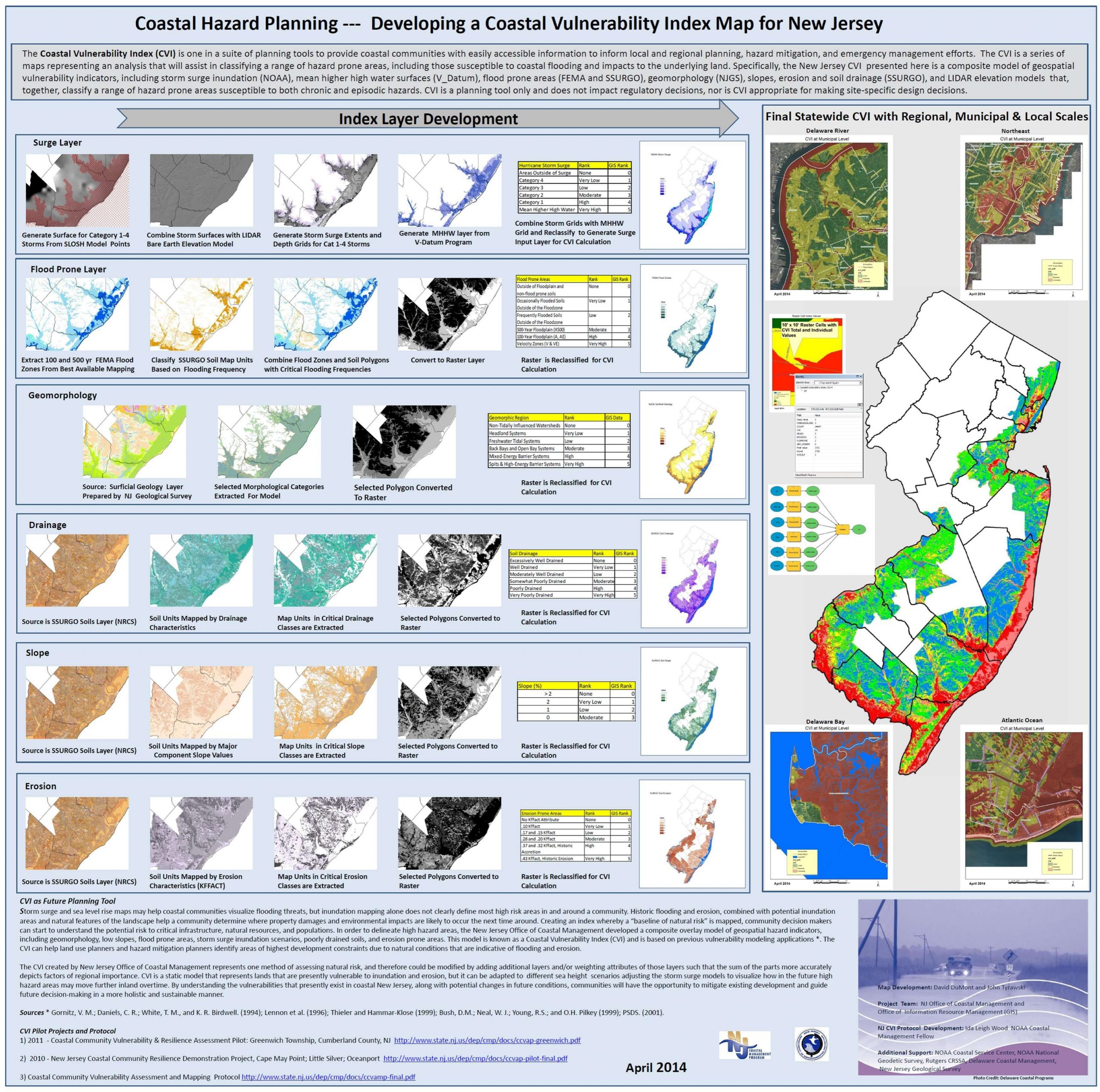
Coastal Hazard planning map NJDEP:
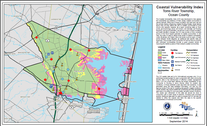
New Jersey Coastal Vulnerability Index Maps:
The Nature Conservancy’s Coastal Resilience Flood mapper:
The National Oceanic and Atmospheric Administration (NOAH) Sea Level Rise Viewer:
Other maps that will be useful to you:
Reports
MyCoast: New Jersey
Floodcam
Resilient NJ Atlantic County Coastal Region
https://dep.nj.gov/wp-content/uploads/ocr/resilientnj/docs/rnj_final-action-plan-report.pdf
Some useful reports.
- Anthropocene Coasts, an open access journal that tackles complex issues related to coastal regions in the Anthropocene.
- Atlantic City (Steel Pier) tide charts for today, tomorrow and this week.
- BULKHEAD ALTERNATIVES SOFT SHORELINE STABILIZATION.
- FEMA’s Flood Insurance Manuals and Handbooks.
- NJ.com’s on New jersey Coastal flooding in the future.
- NJDEP Climate Resilience Strategy.
- NOAH’s Strategic Plan.
- OCEANUS — Ocean and Climate.
- Ready — a US government website dedicated to disaster preparedness.
- Rhodium Group New Jersey’s Rising Coastal Risk.
- Rutgers Climate Institute.
- Surging Seas Coastal flood risk Surging Seas 2degrees.
- The State of New Jersey Resiliency Strategy.
- Zillow Homes at Risk.
Tools
FEMA’s Flood Assessment Structure Tool (FAST)
An open source tool to rapidly analyze structure-level flood risk
Flood Factor Find your home’s Flood Factor
Past floods, current risks, and future projections based on peer-reviewed research from the world’s leading flood modelers
Here you can find some tools that will be useful to be prepared for a disaster.
- Atlantic City (Steel Pier) tide charts for today, tomorrow and this week.
- Climate Central’s Surging Seas Risk Finder.
- Coastal Flood Exposure Mapper.
- Coastal Hazard planning map NJDEP.
- The National Oceanic and Atmospheric Administration (NOAH) Sea Level Rise Viewer.
- NOAA Atlantic City Tide Station Steel Pier.
- NOAA Tides.
- Ready — a US government website dedicated to disaster preparedness.
- Rhodium Group New Jersey’s Rising Coastal Risk.
- Rutgers NJ Climate Change Resource Center: Best Practices for climate preparedness.
- Sea Level Rise and Coastal Flood Web Tools Comparison Matrix – New Jersey.
- Stevens Institute Flood Advisory System.
- Surging Seas Coastal flood risk Surging Seas 2degrees.
- Zillow Homes at Risk.
